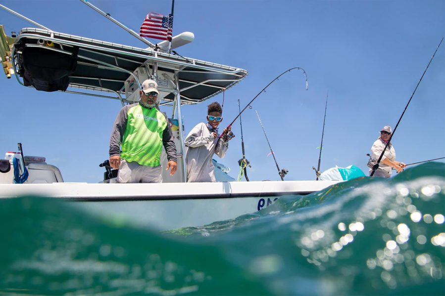
The Florida Keys is a chain of subtropical islands along the southern coast of Florida. Its home to pristine beaches, amazing wildlife and some of the best backcountry and offshore fishing in North America. It’s been coined the fishing capital of Florida and I’d easily place it at the top of my list of all time best fishing destinations in the world.
What makes Florida Key fishing so great? In my book, three things. The weather, diverse fishing habitat, and diversity of fish species. There aren’t many places you can fish year round in the sunshine and expect to get a bite every time you hit the water. And talk about diversity. From fishing the backcountry flats by kayak, to trolling the reefs dotting its southern coast, the Keys has it all.
When you fish the Keys you can expect to catch a little bit of everything. One minute you’re reeling in a 10 lb snook and the next you’re fighting with a 100 lb tarpon. Inshore you’ll find oversized Red Drum, Permit, Sea Trout, Snook, Tarpon and Bonefish. Fish the coastal reefs for Gag Grouper, Yellowtail Snapper, Cobia, Cero and Mackerel.
When you’re ready for the big boys head for the Gulf Stream and Atlantic Ocean. There you’ll find prize Mahi Mahi, Bluefin Tuna, Amberjack and a variety of Billfish, include White and Blue Marlin, Bonnethead Shark, Sailfish, Swordfish and even the elusive Shortbill Spearfish.
Where to fish?
While fish are abundant throughout the Keys, knowing where to wet your line will improve your catch rate and help you better target specific fish species. The Florida Keys Fishing Map below shows productive fishing spots located from Key Largo all the way down to Dry Tortugas National park 64 miles west of Key West.
For location details, including GPS coordinates and common fish species, click on a map marker. Many of the map markers also include a list of confirmed catches. This is helpful for identifying where you’re likely to find a specific species.(Note: Fish have a tendency to swim around, so don’t get hung up fishing a specific spot. You’ll improve your catch rate by moving around and trying different areas.)
Florida Keys Fishing Hot Spots
The following list includes the top fishing spots in the Florida Keys. For a more comprehensive list of fishing locations, review the interactive map above.
- Key Largo
- Tarvernier Key
- Islamorada
- Lower Matecumbe Key
- Long Key
- Marathon Key
- Bahia Honda Key
- Big Pine Key
- Cudjoe Key
- Sugarloaf Keys
- Key West
- Marquesas Keys
Key Largo
Stretching 33 miles, Key Largo is the longest of the Florida Keys. Bordered on the north by the shallow bays and mangrove channels of the Everglades, and to the south by the the Atlantic Ocean, Key Largo offers a truly unique fishing habit and experience.
Its warm, nutrient-rich waters attract a large variety of oceanic pelagic, demersal and reef fish species including Snook, Spotted Seatrout, Red Snapper, Bonefish, Permit, Amberjack, Red Drum, Tarpon, Tuna, Marlin, Mahi Mahi (Dolphin fish), Cobia and Swordfish.
Key Largo is one of the more popular inshore and deepsea fishing destinations for tourists and local anglers. If ever there was a angler’s paradise, there’s a good chance it’s Key Largo.
Inshore Fishing
For those who want to wet their line while remaining firmly planted on terra firma Key Largo offer unparalleled inshore fishing opportunities. Most inshore fishing is on the Everglades side of Key Largo but fishing along the south shore of Key Largo is also popular.
A few of the top inshore fishing destinations include Jewfish Creek, Long Sound, Blackwater Sound, Joe Bay, Trout Creek, Steamboat Creek, Largo Sound, Barnes Sound, Card Sound, Marvin D. Adams Waterway and John Pennekamp Coral Reef State Park.
| Name | Description |
|---|---|
| Jewfish Creek | Fish under the bridge Common fish species: Snook, Mangrove Snapper, Permit, Seatrout Coordinates: 25.18467, -80.38851 Directions |
| Long Sound | Just west of Hwy 1 Rd near Miami Dade Common fish species: Seatrout, Snook, Redfish (Red Drum), Tarpon Coordinates: 25.22952, -80.46286 Directions |
| Blackwater Sound | Just west of Hwy 1 Rd near Miami Dade Common fish species: Seatrout, Snook, Redfish (Red Drum), Tarpon Coordinates: 25.21177, -80.44347 Directions |
| Joe Bay | Catch and release, paddle only Common fish species: Amberjack, Ladyfish, Snook, Redfish (Red Drum) Coordinates: 25.23009, -80.55981 Directions |
| Trout Creek | Paddle only Common fish species: Snapper, Black drum, Bluegill, Seatrout, Amberjack, Ladyfish, Snook, Redfish (Red Drum) Coordinates: 25.21838, -80.5389 Directions |
| Steamboat Creek | Shallow Channel Common fish species: Black Drum, Snook, Spotted Sea Trout and Jack Crevalle Coordinates: 25.27681, -80.33481 Directions |
| Largo Sound | Saltwater bay in John Pennekamp Coral Reef State Park Common fish species: Permit, Spotted Sea Trout, Mahi Mahi, Mangrove Snapper, Red Snapper, Snook, Tarpon, Redfish, Crevalle Jack, Grouper Coordinates: 25.13542, -80.39062 Directions |
| Barnes Sound | Common fish species: Crevalle Jack, Great Barracuda, Ladyfish, Grouper, Kingfish, Yellowtail Tuna, Sea Trout, Blue Marlin, Cobia, Mutton Snapper Coordinates: 25.25004, -80.37179 Directions |
| Card Sound | Common fish species: Bonefish, Permit, Tarpon, Barracuda, Crevalle Jack, Gray (Mangrove) Snapper, Mahi Mahi (Dolphinfish), King Mackerel, Red Grouper, Sailfish, Spotted Seatrout, Snook Coordinates: 25.31989, -80.32473 Directions |
| Marvin D. Adams Waterway | Channel connecting Largo Sound and Blackwater Sound Common fish species: Mangrove Snapper, Snook, Sea Trout, Tarpon Coordinates: 25.13835, -80.39923 Directions |
| John Pennekamp Coral Reef State Park | Mangrove-lined trails that can be navigated by small boat or kayak Common fish species: Snapper, Grunt, Barracuda, Snook Coordinates: 25.12504, -80.40654 Directions |
Offshore Fishing
The Atlantic Ocean on the south side of Key Largo offers some of the most spectacular deepsea fishing anywhere on earth. One of the biggest draws to offshore fishing in Key Largo is the large number of shipwrecks and reefs that support vibrant year-round fishing activity.
Two of the most popular wrecks and fishing spots include USCG Duanne, a few miles south of Key Largo, and Bibb, located in the waters just east of Key Largo. Both are premeir diving sites as well as excellent fisheries. (Note: To fish either vessel you must tie your boat to the mooring buoy.)
The top offshore fishing spots near Key Largo include:
| Name | Description |
|---|---|
| Key Largo Hump | S-shaped hump near French Reef, Depth 280-330ft Common fish species: Mahi Mahi (Dophin fish), Wahoo, Blackfin Tuna, King Mackerel Coordinates: 25.02906, -80.27862 Directions |
| Molasses Reef | Corral reef, Depth avg. 15-40ft Common fish species: Snappers, Groupers, Lobsters, Moray eel, Grunt Coordinates: 25.01641, -80.37859 Directions |
| Belcher Barge | 85' Steel barge, 120' deep Common fish species: Red Drum, Dolphinfish, Bluefin, Tuna, Snapper, Grouper, Mackerel, Amberjack Coordinates: 25.41571, -80.11860 Directions |
| Santa Rita | 200' Steel ship, 245' deep Common fish species: Red Drum, Dolphinfish, Bluefin, Tuna, Snapper, Grouper, Mackerel, Amberjack Coordinates: 25.39589, -80.09164 Directions |
| Ocean Freeze aka Scott Mason-Chaite | 297' Steel ship, 240' deep Common fish species: Grouper, Snapper, Goliath Grouper, Barracuda, Amberjack, Shark Coordinates: 25.39345, -80.11864 Directions |
| Berry Patch | 155' Steel ship, 150' deep Common fish species: Dolphinfish, Bluefin, Tuna, Snapper, Grouper, Mackerel, Amberjack Coordinates: 25.37214, -80.12970 Directions |
| Doc de Milly | 287' Steel ship 140' deep Common fish species: Snapper, Grouper, Mackerel, Dolphinfish, Bluefin Tuna, Amberjack Coordinates: 25.36794, -80.13132 Directions |
| Bibb Shipwreck | 327' Coast Guard Cutter 95', 130' deep Common fish species: Amberjack, Hogfish, Snapper, Black Grouper Coordinates: 25.00587, -80.37885 Directions |
| Duane | 327' Steel ship, 118' deep Common fish species: Great barracuda, Atlantic spadefish, Yellowtail snapper, Goliath grouper, Nurse shark, Reef shark, Bull shark Coordinates: 24.99125, -80.38233 Directions |
| Hugo's April Fool | 115' Steel ship, 145' deep Common fish species: Amberjack, Grouper, Snapper, Tuna, Mahi Mahi Coordinates: 25.39188, -80.13003 Directions |
| Jet Fighters 3 | F-4 Phantom jet fuselages, 118' deep Common fish species: Amberjack, Grouper, Snapper, Tuna, Mahi Mahi Coordinates: 25.38052, -80.12830 Directions |
| Alva Chapman Reef | Concrete boat hulls & dredge pipe, 118' deep Common fish species: Barracuda, Billfish, Amberjack, Grouper, Snapper, Tuna, Mahi Mahi Coordinates: 25.29463, -80.15168 Directions |
| Pickles Reef | Natural and artificial reef, non-restricted fishing Common fish species: Snapper, Grouper, Hogfish, Tuna, Barracuda, Sailfish (outer edge), Snowy Grouper Coordinates: 24.98893, -80.41546 Directions |
| Mosquito Banks | Sandbars and shallow areas, best fishing during winter months, fish deeper edges for larger fish Common fish species: Grunts, Yellowtail Tuna Coordinates: 25.07013, -80.38375 Directions |
Tavernier Key
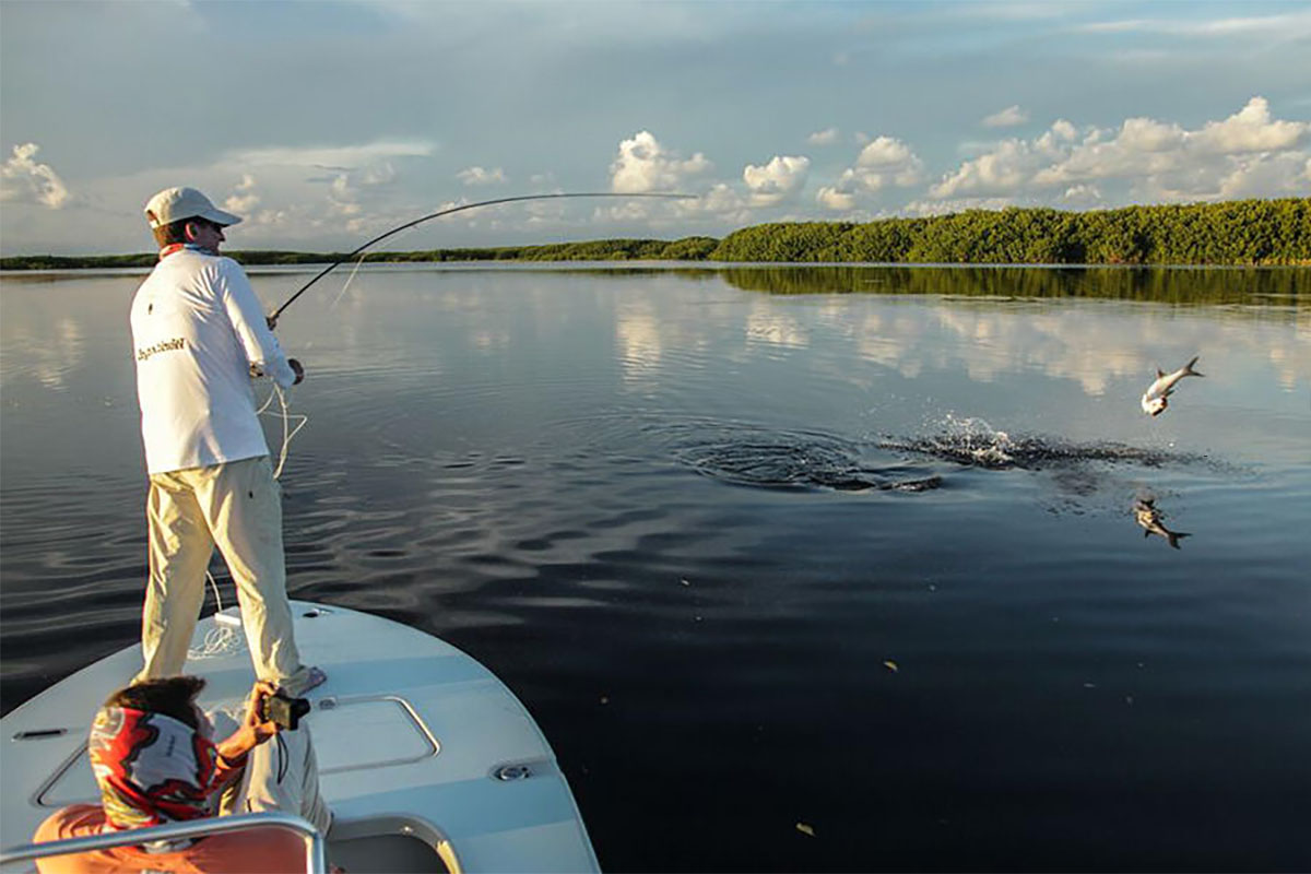
The waters surrounding Tavernier Key and reefs to the southeast provide an abundance of fish live and fishing opportunity for eager anglers. Some of the more popular fish species targeted off Tavernier include Mangrove, Mutton and Yellow Snapper, as well as Gag Grouper, Tarpon, Permit, Pompano, Cubera and Tripletail.
Tavernier Key offers access by boat to backcountry fishing in the Everglades as well as the flats surround many of the smaller keys to northwest such as Bottle Key, Stake Key, Low Key and Cowspens Cut. Two of the more popular deepsea fishing destinations on the Atlantic side of Tavernier Key include Conch Reef and Tavernier Key Reefs.
| Name | Description |
|---|---|
| Conch Reef | Natural and artificial reef, catch and release by trolling (marked by red nun boy) Common fish species: Snapper, Grouper, Hogfish Coordinates: 24.96876, -80.45337 Directions |
| Tavernier Key Reefs | Reef patch south of Tavernier Key Common fish species: Mutton, Mangrove and Yellowtail Snapper Gag Grouper Coordinates: 25.00451, -80.50082 Directions |
Islamorada
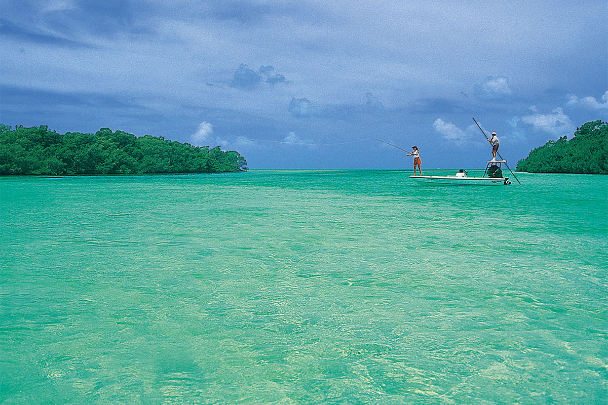
Dozens of inshore and offshore fishing tournament are held in Islamorada every year. A few more popular events include the Islamorada Sailfish Tournament and the Gold Cup Tarpon Tournament. Family friendly fishing events include Poor Girls Sailfish Tournament, Al Flutie and the Holly.
Inshore Fishing
Islamorada offers a variety of fishing experiences for novice and experienced anglers who want to fish inland or near the shore, including shallow flats and mangrove islands. The following are a few of the best spots to fish Islamorada within a stone’s throw of dry land.
| Name | Description |
|---|---|
| Florida Bay | Flats ideal for kayak fishing Common fish species: Snook, Sea Trout, Redfish, Snapper, Tarpon, Cobia, King fish, Tripletail, Bull sharks, Blacktip sharks Coordinates: 24.94533, -80.70131 Directions |
| Islamorada Reef Bridge | Bridge connect the keys Common fish species: Tarpon, Amberjack, Snapper Coordinates: 24.84143, -80.55142 Directions |
Offshore Fishing
You’ll find that the deeper, offshore waters near Islamorada produce the bigger fish such Swordfish and Marlin. Some of the fish travel in schools, like mahi mahi, while others are more solitary like mutton snapper, gag grouper, and goliath grouper.
| Name | Description |
|---|---|
| Islamorada Hump | 15 miles offshore at a depth of 290ft, live bait is best Common fish species: Blackfin Tuna, Amberjack, Sailfish, Marlin, Wahoo, Queen Snapper, Sharks, Dolphin Fish, Snow Grouper Coordinates: 24.83407, -80.44593 Directions |
| 409 Hump | Depth of 409ft, Fish deep jigs with lighter tackle Common fish species: Blackfin Tuna, Blue Marlin, Greater Amberjack, Mahi-mahi Sailfish, Tiger Shark, Wahoo White Marlin, Yellowfin Tuna Coordinates: 24.65408, -80.58892 Directions |
| Spiegel Grove | 510' Steel ship, 135' deep Common fish species: Black Grouper, Graysby Grouper, Goliath Grouper, Gray Snapper, Yellowtail Snapper, Blackfin Snapper, Striped Grunt, Tomtate Grunt Coordinates: 25.06689, -80.31076 Directions |
| Eagle Wreck | 287' Steel ship, 110ft deep Common fish species: Grouper, Mahi Mahi, Barracuda, Shark, Sailfish Coordinates: 24.88313, -80.56744 Directions |
| Alexander Barge | 120' Steel barge, 95' deep Common fish species: Grouper, Barracudea, Marlin, Shark (and larger fish), Lobsters Coordinates: 24.86188, -80.56833 Directions |
| Indian Key State Park | Located just offshore near Mile Marker 78 on Highway 1, reach by kayak Common fish species: Barracuda, Permit, Red Drums, Tarpon, Snapper, Amberjack Coordinates: 24.87855, -80.67683 Directions |
Lower Matecumbe Key
Two of my favorite fishing spots in the Florida Keys—Lignumvitae and Channel 2 Bridge—are located just off Lower Matecumbe Key. Lignumvitae offers excellent fishing for bonefish on the flats and tarpon in nearby channels. Snapper, Snook, Mackerel and Lobster are also common catches in the area.
Channel 2 Bridge is popular and convenient fishing spot a few miles southwest of Lower Matecumbe Key near Mile Marker 73 along Hwy 1. Channel 2 Bridge is very accessible, has a convenient fishing platform to setup shop, and provides access to a variety of fish species including Mangrove Snapper, Yellowtail Snapper, Gag Grouper, Barracuda and Tarpon.
| Name | Description |
|---|---|
| Lignumvitae Key | Flat fishing best during high tide, 1 ¼ mile kayak paddle from the Indian Key Boat Ramp Common fish species: Bonefish, Tarpon, Snapper, Mackerel, Snook, Barracuda Coordinates: 24.90633, -80.69783 Directions |
| Channel 2 Bridge | Converted fishing pier west of southwest of Matecumbe Key Common fish species: Yellowtail Snapper, Mangrove (Gray) Snapper, Gag Grouper, Snook, Tarpon, Barracuda Coordinates: 24.84353, -80.75023 Directions |
Long Key
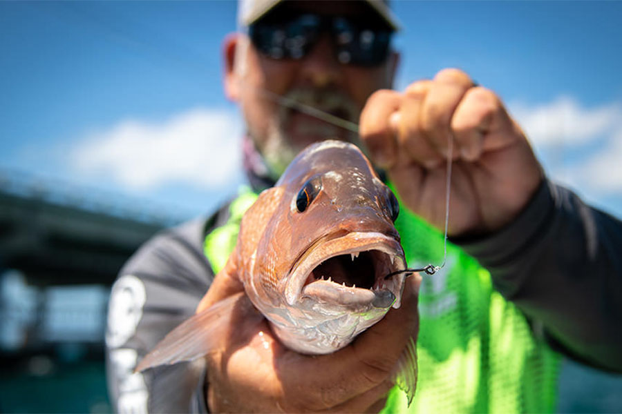
Long Key provides access to four really great spots for targeting many of the Key’s most sought after catches, including Snapper, Grouper, Tarpon and Bonefish. Recommended fishing spots near Long Key that attract “in-the-know” anglers include Channel 5 Bridge, Long Key State Park, Long Key Bight, and Long Key Bridge.
Channel 5 bridge is among the top fishing locations in the Florida Keys for two reasons — access and access. This spot provides access to some of the richest fishing waters in the Florida Keys (jacks, tarpons, snappers, sea trout, etc.) and its one of the few fishing bridges that will get you right down on the water’s edge so you can fish directly under the bridge. If you’re in the area, and are itching to fish, this is a great spot to wet your line and appetite for some good fishing.
Long Key State Park, Long Key Bight and Long key Bridge also provide great access to top Florida Keys fisheries.
| Name | Description |
|---|---|
| Channel 5 Bridge | Converted fishing pier northeast of Long Key Common fish species: Yellowtail Snapper, Mangrove (Gray) Snapper, Gag Grouper, Snook, Tarpon, Barracuda Coordinates: 24.83961, -80.77309 Directions |
| Long Key State Park | Shore and kayak fishing through channel and mangroves Common fish species: Bonefish, Redfish (red drum), Snapper, Mullet Coordinates: 24.81631, -80.82303 Directions |
| Long Key Bight | average depth of 1-5 feet Common fish species: Mangrove snapper, Mutton snapper, Yellow jack, Sea trout, Bonefish Coordinates: 24.82643, -80.80026 Directions |
| Long Key Bridge | Low fishing pressure, accessible by car or bike Most common fish species: Snapper, Grouper, Snook, Tarpon Coordinates: 24.79810, -80.86554 Directions |
Marathon Key
Marathon probably offers one of the most diverse fishing experiences anywhere in the Florida Keys. There’s backcountry fishing, deep sea fishing, kayak fishing on flats, and trolling the Gulfstream for pelagics such as Wahoo, Mahi Mahi, Marline and Sailfish.
The Marathon West Hump situated 27 miles southeast of Marathon Key rises from the ocean floor to a depth of 500 feet to create unique habit that attracts a variety of larger gamefish, including white marlin, wahoo, blue marlin, blackfin tuna and sharks.
If you’re interested in snagging mangrove, mutton and yellow tail snapper, giant grouper, mackerel or barracuda, you can fish the natural and artificial reefs along on the Atlantic ocean side of Marathon.
What I like best about Marathon is that it doesn’t experience the fishing pressure common throughout the waters of Islamorada and Key Largo — but still has all the fish.
Inshore Fishing
If you want to land a trophy catch without hitting the open ocean, Marathon Key offers some of the most productive inshore and inland fish spots to drop your line.
The most productive, and easy to access, inshore fishing spots in Marathon include Seven Mile Bridge and Tom’s Harbor Cut Bridge. Although not technically part of Marathon Key, Bahia Honda Bridge, down Hwy 1 a few more miles also offers superb inshore fishing.
Among the inshore fishing piers and bridges in the Florida Keys, Seven Mile Bridge is perhaps the best-known. Fish are abundant and within casting distance. The bridge is accessible and provides plenty of space for casting without bumping into your neighbor. Common catches include Snapper and Schoolmaster.
If Seven Mile Bridge is out of reach, about 10 miles up the road at Mile Marker 63 is Tom’s Harbor Cut Bridge. Fish selection here is a little different than Seven Mile Bridge, but the fishing is just as good. Expect to reel in some Mangrove Snapper, Permit, Blue Runners, and Mackerel.
Other inshore fishing spots in the area you might want to explore if you’ve got the time include Curry Hammock State Park, Sombrero, Oceanfront Park, Boot Key, Deer Key, Little Deer Key, and Bamboo Key.
| Name | Description |
|---|---|
| Seven Mile Bridge | Fish the west end for Tarpo Common fish species: Tarpon, Mangrove Snapper, Yellow Snapper, Schoolmaster Coordinates: 24.69730, -81.17908 Directions |
| Tom’s Harbor Cut Bridge | Fishing pier providing easy access, Located at Mile Marker 63 on Hwy 1 Common fish species: Permit, Bonefish, Mangrove Snapper, Blue Runners, Mackerel Coordinates: 24.78280, -80.90804 Directions |
| Curry Hammock State Park | 1000-acre state park, fish the bays on the west side of the park Common fish species: Snapper, Amberjacks, Barracuda, Snook, Tarpon, Redfish, Bonefish Coordinates: 24.73878, -80.98142 Directions |
| Oceanfront Park | Shore and flat fishing Common fish species: Tarpon, Snook, etc. Coordinates: 24.72405, -81.04484 Directions |
| Sombrero Beach | Surf-fishing, kayak fishing, pier fishing Common fish species: Tarpon, Snook, Snapper, Barracuda, etc. Coordinates: 24.69604, -81.08485 Directions |
| Boot Key | Flat fishing, kayak fishing Common fish species: Tarpon, Snook, Snapper, Barracuda Coordinates: 24.69547, -81.10139 Directions |
| Deer Key | Flat fishing and kayak fishing around Deer Key island Common fish species: Tarpon, Snook, Snapper, Barracuda Coordinates: 24.73667, -80.98886 Directions |
| Little Deer Key | Fish the northside flats by flat boat or kayak Common fish species: Tarpon, Snook, Snapper, Barracuda, Bluefish, Mackerel Coordinates: 24.74520, -80.99855 Directions |
| Bamboo Key | Fish the northside flats by flat boat or kayak Common fish species: Tarpon, Snook, Snapper, Barracuda, Mackerel, Bluefish Coordinates: 24.75522, -81.00289 Directions |
Offshore Fishing
One of the beauties of fishing from Marathon Key is that you have relatively quick access to deeper waters where the fishing for larger pelagic fish like Marlin and Sailfish really gets going.
A deepsea fishing trip to Marathon just isn’t complete without dropping your line off Marathon Hump, a hot spot where the fishing can get intense. What I like most about Marathon Hump is that the fishing is just as good as Islamorada Hump, but without all the congestion.
Another deepsea fishing gem directly south of Marathon is Carlson’s Two Humps. On a good day you can expect to reel in Sailfish, Wahoo, Cobia, Tuna and Marlin. At a depth of 600 feet, Carlson’s Two Humps is one of the deeper fishing spots in the area. Deep drop fishing tends to be one of the more productive fishing techniques for non-pelagic fish species.
| Name | Description |
|---|---|
| Marathon Humps | 27 miles southeast of Marathon Key FL, Depth of 516ft, positioned in Gulf Stream, use bait fish Common fish species: Mahi Mahi, Greater Amberjack, Wahoo, Mako Shark, Sailfish, Blue Marlin, Bonita, Snowy Grouper, Strawberry Grouper, Yellowedge Grouper, Queen Snapper, Amberjack Coordinates: 24.49796, -80.74722 Directions |
| Carlson's Two Humps | 600ft deep and a good place for deep drops. dropoff fishing, Common fish species: Sailfish, Mahi Mahi, Cobia, Wahoo, Blackfin Tuna, Yellowfin Tuna, Wahoo Coordinates: 24.53848, -81.06108 Directions |
Bahia Honda Key
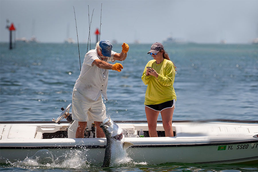
There several good areas to fish from shore within Bahia Honda State Park, but most anglers visiting Bahia Honda will try their hand at catching a Snapper, Grouper or Tarpon from Bahia Honda Bridge. On the atlantic side of Bahia there are shallow flats and channels ideal for fly-fishing for Tarpon, Permit and Bonefish.
Bahia Honda bridge is known as one of the top spots for Tarpon fishing. Each year 70-130 lb Tarpon flood the channel under the bridge as they migrate north up the coast.
| Name | Description |
|---|---|
| Bahia Honda Bridge | Top spot for Tarpon fishing Common fish species: Tarpon, Permit, Sheepshead Mutton, Mangrove and Yellow Snapper Hammerhead, Bull, and Tiger Shark Coordinates: 24.65692, -81.28965 Directions |
| Bahia Honda State Park | Various fishing from shore areas Common fish species: Mutton, Mangrove and Yellow Snapper Grouper, Bonefish, Permit, Barracuda Coordinates: 24.65951, -81.27423 Directions |
Big Pine Key
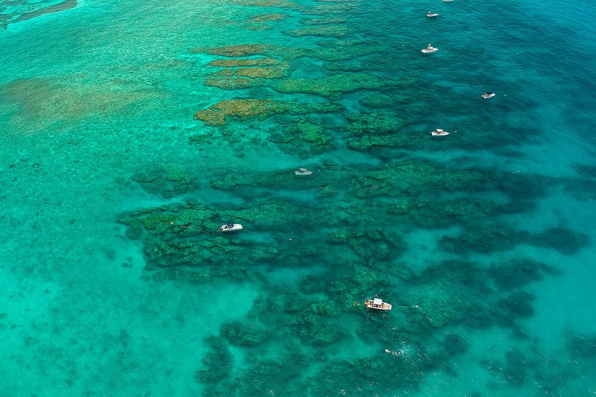
Just offshore of Big Pine key you can fish for permit, tarpon, snook, barracuda, snappers, pompano, bluefish, snook and some big sharks. Larger species including swordfish, Goliath groups, Cobia, and King mackerel, can be found in deeper waters on the Gulf side of the key. One of the most common gamefish species found in Big Pine waters is the Mangrove snapper.
The best fishing in Big Pine Key occurs during the fall around the Atlantic reefs for snappers (mangrove, yellowtail, mutton), grouper and mackerel. For tarpon, grouper and larger sharks I recommend fishing from the bridges.
The flats on either side of Big Pine Key offer great fishing for Bonefish, and if you’re looking for Snook, Red drum, or permit fish the channels and backcountry. The grassflats on the bay side of Big Pine are known for Sea trout.
Within a quick boat trip from from Big Pine Key Resort you’ll find several small keys that provide great sportfishing: Little Torch Key, Summerland Key, Big Mangrove, No Name Key and Little Don Quixote Key.
| Name | Description |
|---|---|
| Newfound Harbor Channel | Bay south of Big Pine Key Common fish species: Tarpon, Snook, Snapper, Grouper Coordinates: 24.64241, -81.38591 Directions |
| Little Torch Key | Top spot for fishing Black grouper, Wahoo and Mahi Mahi Coordinates: 24.66922, -81.39071 Directions |
| Summerland Key | Offers great Tarpon fishing Coordinates: 24.66453, -81.44429 Directions |
| No Name Key | Common fish species: Tarpon, Snook, Barracuda Coordinates: 24.69497, -81.32647 Directions |
| Big Mangrove Key | Common fish species: Snapper, Barracuda, Sharks Coordinates: 24.66822, -81.32529 Directions |
| Don Quixote | Best fishing is on the flat north of Don Quixote Key Common fish species: Sharks, Permit, Tarpon Coordinates: 24.66456, -81.30947 Directions |
| Looe Key | Fish the waters surrounding the Looe Key preserve. Fishing prohibited inside the preserve. Common fish species: Yellowtail, Grouper, Snapper Coordinates: 24.55403, -81.40494 Directions |
Cudjoe Key
Cudjoe Key is a productive fishery located between Big Pine and Key West. Compared to other fisheries within the Keys, Cudjoe experiences relatively low fishing pressure. In fact, most Florida anglers have never even heard of Cudjoe Key. Rarely will you ever find a crowd here.
Cudjoe Key offers a variety of exceptional inshore and offshore fishing habits and opportunities including bridges, channels, mangrove islands, shallow channels, Atlantic-side reefs and Gulf wrecks. Fish the reefs to target Yellowtail, Mutton and Mangrove snappers. For Permit, Snapper, Cobia, Kingfish, Grouper, Amberjack, Barracuda, Mackerel and sharks, head to the reefs. Cudjoe some of the best sight fishing opportunities anywhere in the Keys.
| Name | Description |
|---|---|
| Cudjoe Key | Low fishing pressure flats, channels, bridges, reefs, wrecks and offshore waters Common fish species: Grouper, Snapper, Bonefish, Permit, Tarpon, Wahoo, Amberjack, Cobia, Kingfish, Barracuda Coordinates: 24.67523, -81.49152 Directions |
| Cudjoe Bay | Common fish species: mahi mahi (dorado and dolphin), grouper, tuna, wahoo, snappers, crevalle jack, yellowtail, sailfish, red drum, mangrove, hogfish, tarpon, bonefish, jewfish, cobia, permit, kingfish, Spanish mackerel, barracuda Coordinates: 24.65641, -81.49107 Directions |
Sugarloaf Keys
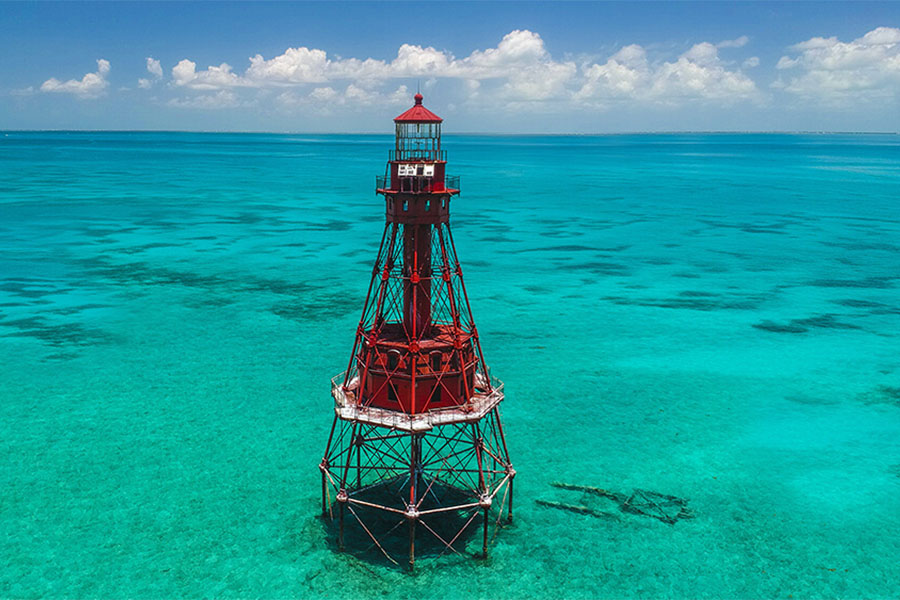
Sugarloaf Keys offers both inshore and offshore fishing. Most inshore fishing takes place in the flats and backcountry on the north side of the island where anglers will find Tarpon, Permit, Snook, Jack Crevalle, Bonefish, Blacktip Shark and Bull Shark among other game fish species common to the keys. Sugarloaf Key flats are a popular spot for flyfishing and sight fishing.
Deeper waters to the south for Sugarloaf are home to several species of Billfish, Mackerel, Amberjack, Sailfish, Tuna, Grouper, Mahi Mahi and Snapper. The most popular technique for deepsea fishing in this area is trolling.
While there are literally hundreds of places to fish in and around Sugarloaf Keys a few of the most productive fisheries include Upper Sugarloaf Sound, Lower Sugarloaf Sound, Park Channel Fishing Bridge, and Turkey Basin.
| Name | Description |
|---|---|
| Sugarloaf Keys | Backcountry islands with offshore, channel, mangrove, and flats fishing Common fish species: Tarpon, Bonefish, Grouper, Sailfish, Crevalle Jack, Amberjack, Mahi Mahi, Barracuda, Mackerel, Mangrove and Yellowtail Snapper, Marlin, Tuna, Seatrout, Ladyfish Coordinates: 24.62823, -81.54450 Directions |
| Upper Sugarloaf Sound | Mangroves, channels and flats Common fish species: Snook, Tarpon, Crevalle Jack, Permit, Bonnethead Shark Coordinates: 24.64100, -81.53732 Directions |
| Lower Sugarloaf Sound | Mangrove channel, kayak fishing is popular Common fish species: Great Barracuda, Mangrove Snapper, Bonefish, Permit, Tarpon Coordinates: 24.62416, -81.57532 Directions |
| Park Channel Fishing Bridge | Located on US-1, Mile Marker 18.5 Common fish species: Black Grouper, Snowy Grouper, Tilefish, Yellowtail Snapper, Mangrove Snapper, Mutton Snapper, Schoolmaster Snapper, Bonnethead Shark, Nurse Shark, Grun, Crevalle Jack, Permit, Barracuda, Tarpon, King Mackerel Coordinates: 24.65540, -81.54091 Directions |
| American Shoal Reef | 10 miles south of Sugarloaf Keys Common fish species: Blackfin Tuna, Wahoo, Mahi Mahi, Sailfish, Billfish, Hogfish, Snapper Coordinates: 24.56487, -81.46645 Directions |
Key West
Inshore Fishing
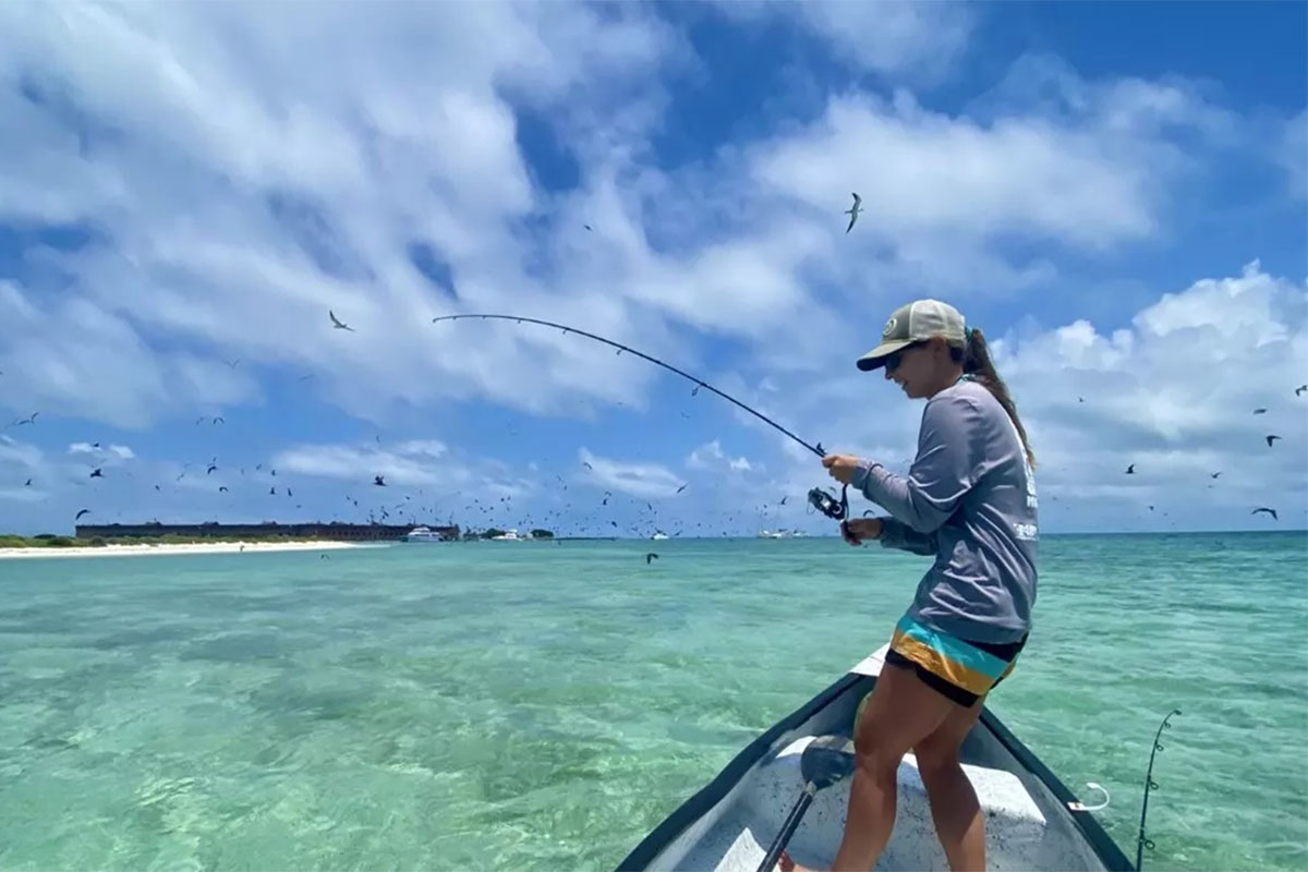
When most anglers think of wetting their line in Key West, deep sea fishing is the first thing that springs to mind. While Key West is known for offering some of the best deep sea fishing in the Keys, you don’t have to stray far from the mainland to land an incredible catch.
In fact, inshore fishing in Key West is one of the biggest attractions for anglers. There’s an almost limitless number of prize gamefish species you can target from shore, in the shallows, along the flats, and in the backcountry without ever venturing into the deep — or getting sea sick.
The shallows of Key West offer anglers an unparalleled inshore fishing experience like none other in the Keys, with accessible fishing grounds and opportunities as far as the eye can see. Key West shallows and flats serve up a virtual smorgasbord of fish species with including barracuda, bonefish, tarpon, jacks and the elusive permit.
Moving from the flats to Key West’s awe-inspiring backcountry you’ll have access to miles and miles of fishing at its finest. Here you’ll find abundant marine life, flora, fauna and of course game fish. Backcountry bays are home Sea trout, Jacks and Pompanos. For Snook and Redfish hit the mangrove shorelines. Venture into deeper channels for Tarpon, Snapper, Grouper and Cobia.
There really isn’t a bad place to cast your line from the shore in Key West, but the following are the most popular inshore fishing destinations.
| Name | Description |
|---|---|
| Shark Channel Bridge | Located on US-1, Mile Marker 12. Ideal for kayak fishing Common fish species: Black Grouper, Snowy Grouper, Tilefish, Yellowtail Snapper, Mangrove Snapper, Mutton Snapper, Schoolmaster Snapper, Bonnethead Shark, Nurse Shark, Grun, Crevalle Jack, Permit, Barracuda, Tarpon, King Mackerel, Marlin Coordinates: 24.60551, -81.64066 Directions |
| White Street Fishing Pier | Aka Edward B. Knight Pier at South end of White St., Key West (night fishing is best) Common fish species: Mahi Mahi, Jacks, Snapper, Snook, Redfish Coordinates: 24.54737, -81.78383 Directions |
| Boca Chica Channel Bridge | Fish near the pilings using shrimp for best results Common fish species: Tarpon, Snapper (multiple species), Jacks, Grunt, Barracuda, Grouper, Ballyhoo, Bluefish Coordinates: 24.57771, -81.71714 Directions |
| Smathers Beach | wade and shore fishing Common fish species: Tarpon Coordinates: 24.55214, -81.76871 Directions |
| Cayo Agua Key | Region of flats surrounding Cayo Agua Key ideal for kayak and flats boats fishing Common fish species: Permit, Bonefish, Jacks Coordinates: 24.63347, -81.74557 Directions |
| Key West Bight | Waters off jettie on north side of Key West Island Common fish species: Grouper, Snapper, Blue Runner, Croaker, Crevalle Jack, Sharks, Tarpon, Ladyfish, Pompano Coordinates: 24.56160, -81.80273 Directions |
| Man of War Harbor | Common fish species: Grouper, Snapper, Blue Runner, Croaker, Crevalle Jack, Sharks, Tarpon, Ladyfish, Pompano Coordinates: 24.58021, -81.80644 Directions |
| Garrison Bight | Inland harbor Common fish species: Crevalle Jack, Snapper, Grouper, Ladyfish, Shark, Grunt, Mahi Mahi, Barracuda Coordinates: 24.56221, -81.78295 Directions |
| Safe Harbor | Common fish species: Scamp, Snapper, Grunt, Barracuda, Amberjack, Mackerel, Catfish Coordinates: 24.56389, -81.73297 Directions |
| Geiger Creek | Shallow creek Common fish species: Amberjack, Grouper, Snapper, Hind, Shark, Crevalle Jack, Barracuda Coordinates: 24.57096, -81.66900 Directions |
| Rockland Channel | Shallow channel off Hwy-1 Common fish species: Snook, Snapper, Barracuda, Grouper Coordinates: 24.59281, -81.66705 Directions |
| Jack Channel | Common fish species: Permit, Snapper, Barracuda, Crevalle Jack, Grouper, Tarpon Coordinates: 24.60574, -81.81182 Directions |
| West Harbor Key Channel | Common fish species: Tarpon, Blue Runner, Great Barracuda, Mangrove Snapper, Bull Shark, Yellow Jack, Yellowtail Snapper, Sheepshead, Cero, Crevalle Jack, Grouper, Mahi Mahi Coordinates: 24.64546, -81.74486 Directions |
Offshore Fishing
The only experience that could possibly compare to fishing the flats and backcountry in Key West is deep sea and reef fishing in Key West’s deep blue offshore waters. Offshore fishing in Key West is an unbeatable experience.
From Key West all the way to Dry Tortugas, Key West offers some the most productive reef fishing anywhere in the world. And if you want to experience the definition of deep sea fishing, just head south of Key West to the blue waters of the Gulf Stream to troll for some giant Marlin or fiesty Swordfish.
There are some many deep sea fishing spots in Key West’s offshore waters that I couldn’t list them all. Below I’ve include several of what I would consider the most productive fisheries, fishing reefs and wrecks near Key West. For most of these locations target fish species are going to be similar.
| Name | Description |
|---|---|
| Woods Wall ("The Wall") | 20 miles south of Key West. Sheer ledge drops 2,000 feet. Common fish species: Marlin, Mahi Mahi, Tuna, Sailfish, Swordfish Coordinates: 24.24922, -81.59552 Directions |
| Dry Tortugas | 70 miles west of Key West. Requires a multi-day trip Common fish species: Grouper, Snapper, Blackfin Tuna, Yellowtails, Jack, Sharks, Sailfish, Marlin, Mahi Mahi, Swordfish Coordinates: 24.71265, -82.86300 Directions |
| Adolphus Busch Sr. | Steel Ship, 100' deep Common fish species: Permit, Large Jewfish, Eels, Large pelagic fish Coordinates: 24.53088, -81.46147 Directions |
| Joe's Tug | 90' Steel Tug Boat, 65' deep Common fish species: Goliath Grouper, Yellowtail, Barracuda Coordinates: 24.46444, -81.73787 Directions |
| Hoyt Vandenberg | 522' Steel Ship, 145' deep Common fish species: Black Grouper, Amberjack, Grunt, Cero, Snapper, Redfin Coordinates: 24.46017, -81.73645 Directions |
| Key West Tournament Reef | 100' Steel Barge, 184' deep Common fish species: Grouper, Snapper, Pelagic fish Coordinates: 24.46107, -81.77014 Directions |
| Key West Tournament Reef 2 | 260' Steel Ship, 180' deep Common fish species: Grouper, Snapper, Pelagic fish Coordinates: 24.45438, -81.77082 Directions |
| Cayman Salvage Master | Steel Ship, 92' deep Common fish species: Grouper, Snapper, Pelagic fish Coordinates: 24.45370, -81.76633 Directions |
| Stargazer Reef | Steel Structures, 13' deep Common fish species: Grouper, Snapper, Pelagic fish Coordinates: 24.45914, -81.86649 Directions |
| Gunvor Wreck | Great spots for targeting large gamefish 60 feet depth 25 north of Key West Common fish species: Bull sharks, Goliath grouper, Gag grouper, Blue runners, Bluefish, Permit, Pompano, Snapper, Barracuda, Amberjacks, Cobia Coordinates: 24.94874, -81.77648 Directions |
| Bosilika Wreck | Artifical reef Common fish species: Bull sharks, Goliath grouper, Gag grouper, Blue runners, Bluefish, Permit, Pompano, Snapper, Barracuda, Amberjacks, Cobia Coordinates: 24.97005, -81.88006 Directions |
| Luckenback | Artifical reef 30 miles north of Key West Common fish species: Bull sharks, Goliath grouper, Gag grouper, Bluefish, Blue runners, Permit, Pompano, Snapper, Barracuda, Amberjacks, Cobia Coordinates: 24.98955, -81.77657 Directions |
| USS Sturtevant Wreck | Artificial Wreck. 65' depth. About 8 miles northeast of Key West Common fish species: Goliath grouper, Gag grouper, Cobia, Snapper, Kingfish, Permit, Shark, Tarpon, Pompanos, Bluefish Coordinates: 24.78831, -82.02023 Directions |
Marquesas Keys
Marquesas Keys, also known as “Marquesas Atoll”, is a circular chain of islands located 25 miles west of Key West that offers a diversity of inshore and offshore fishing. Fish the flats and shallow water wrecks for Tarpon, Permit, Cobia and Bonefish. Venture into deeper offshore waters for Mahi Mahi, Wahoo, Sailfish and Marlin. Other fish that inhabit Marquesas Keys include barracuda, grouper, bluefish, ladyfish, snapper, snook and redfish. Bottom fishing the rocky bottoms around Marquesas will produce large numbers of snappers and groupers.
Marquesas is known as one of the top spots in the world for Permit fishing. If Permit is at the top of your fish list, then Marquesas should be too. The flats inside and around Marquesas Atoll is where you’ll find the best Permit fishing. You’ll also find ample numbers of Tarpon, Bonefish and other species throughout the flats.
It takes a bit more time and planning to fish Marquesas Keys, but it’s worth the effort. This small island chain sees a lot less pressure from anglers than other keys. Marquesas is one of the first keys that Tarpon and other migratory fish pass through as they head up the coast of Florida. Fish Marquesas at the right time of year and you’ll have first shot at getting your lure or fly in front of some hungry biters.
A well-planned trip to Marquesas is truly a epic fishing experience. Most of the best fishing is going to occur in the flats and shallows near Marquesas Keys. However, there are a few wrecks and reefs a few miles off shore that can also provide some good fishing. Cosgrove Shoal and Coalbine Rock, USCGC Arbutus, Valbanera, USS Weber and Barley Wreck all reportedly offer good fishing.
| Name | Description |
|---|---|
| Marquesas Keys | 25 miles west of Key West, Multiple fishing options Common fish species: Permit, Tarpon, Bonefish, Greater Amberjack, Barracuda, Sharks, Gag and Red Grouper, Mutton, Red and Yellowtail Snapper, Cobia, Bluefish, Snook, Ladyfish, King Mackerel Coordinates: 24.57825, -82.11603 Directions |
Note: For complete list of Florida Key fishing spots with common and confirmed fish species, review the Florida Keys Fishing Map at the top of this page.


